Dubai, the jewel of the United Arab Emirates, stands as a testament to modernity and progress in the Middle East. In a city known for its towering skyscrapers, luxurious lifestyle, and bustling atmosphere, efficient transportation is key to ensuring smooth mobility for residents and tourists alike. At the heart of Dubai’s transportation network lies the Dubai Metro, a state-of-the-art rapid transit system that has revolutionized the way people move around the city. In this comprehensive guide, we’ll delve into the intricacies of the Dubai Metro map, exploring its routes, landmarks, travel tips, and the impact it has had on the city’s cultural, social, and environmental landscape.

The Evolution of Dubai’s Transportation Network
Dubai’s transformation from a small fishing village to a global economic hub has been accompanied by a remarkable evolution in its transportation infrastructure. In the early days, Dubai relied heavily on traditional modes of transportation such as camels, boats, and dhows. However, with the discovery of oil in the 1960s, rapid urbanization ensued, leading to the need for modern transportation solutions.
The development of Dubai’s transportation network gained momentum in the late 20th century, with the construction of roads, bridges, and tunnels. However, it wasn’t until the early 21st century that the city embarked on its most ambitious transportation project yet – the Dubai Metro. Launched in 2009, the Dubai Metro represented a quantum leap forward in urban mobility, providing a fast, efficient, and sustainable mode of transportation for millions of commuters.
Understanding the Dubai Metro Map
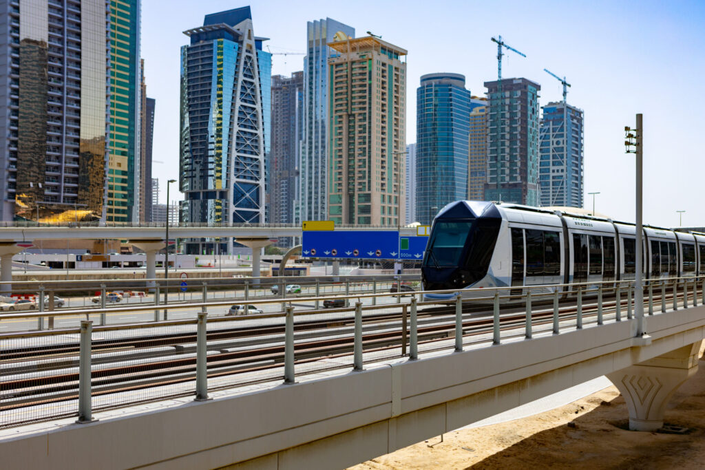
The Dubai Metro map serves as a visual representation of the city’s rapid transit system, depicting its various lines, stations, and connections. Currently, the Dubai Metro comprises two primary lines: the Red Line and the Green Line. Each line serves different parts of the city, with key stations strategically located near major landmarks, business districts, and residential areas.
The Red Line, the first line to be operational, stretches from Rashidiya in the northeast to Jebel Ali in the southwest, covering a distance of 52.1 kilometers. Along its route, the Red Line passes through iconic landmarks such as the Dubai Mall, Burj Khalifa, and Dubai International Airport, making it a popular choice for both tourists and residents.
On the other hand, the Green Line traverses the historic heart of Dubai, running from Etisalat in the east to Creek in the west, with a total length of 22.5 kilometers. The Green Line offers access to cultural attractions such as the Dubai Museum, Gold Souk, and Heritage Village, providing passengers with a glimpse into Dubai’s rich heritage and traditions.
Route Planning and Travel Tips
Efficient route planning is essential for making the most of your journey on the Dubai Metro. With its user-friendly map and signage, navigating the Metro system is relatively straightforward. Passengers can plan their routes using various online tools and mobile applications, which provide real-time information on train schedules, station locations, and travel times.
When using the Dubai Metro, it’s essential to be mindful of peak hours, which typically occur during weekday mornings and evenings when commuters are traveling to and from work. To avoid crowds and long wait times, consider traveling during off-peak hours or using alternative modes of transportation such as taxis or ride-sharing services.
Fare structure and ticketing information for the Dubai Metro are also important considerations for passengers. The Metro operates on a zone-based fare system, with ticket prices varying depending on the distance travelled. Passengers can purchase tickets or top up their Nol cards (a rechargeable smart card used for public transportation) at Metro stations, online, or through authorized retailers across the city.
Here you can check all details about Dubai Metro click here.
Future Developments and Expansion Plans

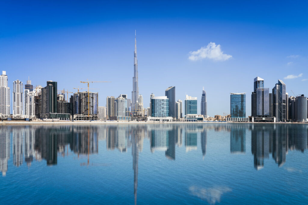
Dubai skyline, United Arab Emirates
Looking ahead, the future of the Dubai Metro appears bright, with ambitious expansion plans aimed at further enhancing connectivity and accessibility across the city. One of the most significant upcoming projects is the extension of the Red Line to the site of Expo 2020, a global mega-event that promises to attract millions of visitors from around the world.
Additionally, the Dubai Metro is set to undergo significant upgrades and modernization efforts, including the introduction of cutting-edge technologies such as driverless trains and smart infrastructure systems. These advancements are expected to improve the efficiency, safety, and comfort of the Metro system, ensuring a world-class transportation experience for passengers.
Sustainability and Environmental Impact
Beyond its convenience and efficiency, the Dubai Metro also plays a crucial role in promoting sustainability and reducing environmental impact. By encouraging residents and visitors to opt for public transportation over private cars, the Metro helps alleviate traffic congestion and reduce carbon emissions, thereby contributing to Dubai’s sustainability goals.
Furthermore, the Metro system is designed with eco-friendly features such as energy-efficient trains, regenerative braking systems, and solar-powered stations. These initiatives not only minimize the Metro’s carbon footprint but also set a precedent for sustainable urban development in the region.
Cultural and Social Impact
In addition to its practical benefits, the Dubai Metro has had a profound cultural and social impact on the city. By bringing together people from diverse backgrounds and nationalities, the Metro serves as a melting pot of cultures, fostering social interaction and exchange among passengers.
Moreover, the Metro has become a symbol of Dubai’s cosmopolitan identity, reflecting the city’s spirit of innovation, tolerance, and inclusivity. From tourists exploring the city’s attractions to commuters going about their daily routines, the Metro is a shared space where individuals from all walks of life come together, united by a common journey.
Conclusion
In conclusion, the Dubai Metro map serves as a gateway to exploring the dynamic city of Dubai, offering passengers a convenient and efficient way to navigate its diverse landscapes and attractions. From its humble beginnings to its current status as a world-class transportation system, the Dubai Metro stands as a testament to Dubai’s commitment to innovation, sustainability, and progress.
As the city continues to grow and evolve, the Dubai Metro will undoubtedly play an integral role in shaping its future, connecting communities, driving economic growth, and fostering a sense of unity among its residents. Whether you’re a first-time visitor or a seasoned commuter, the Dubai Metro invites you to embark on a journey of discovery, exploration, and connection in one of the world’s most dynamic cities.
Bayut Magic : Leading the Real Estate Revolution in the UAE 2024

